Go
or press 'enter'
or press 'enter'
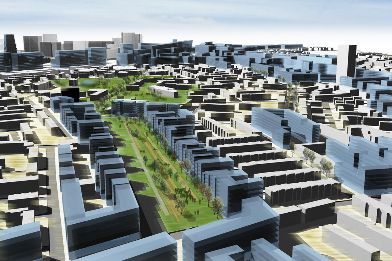
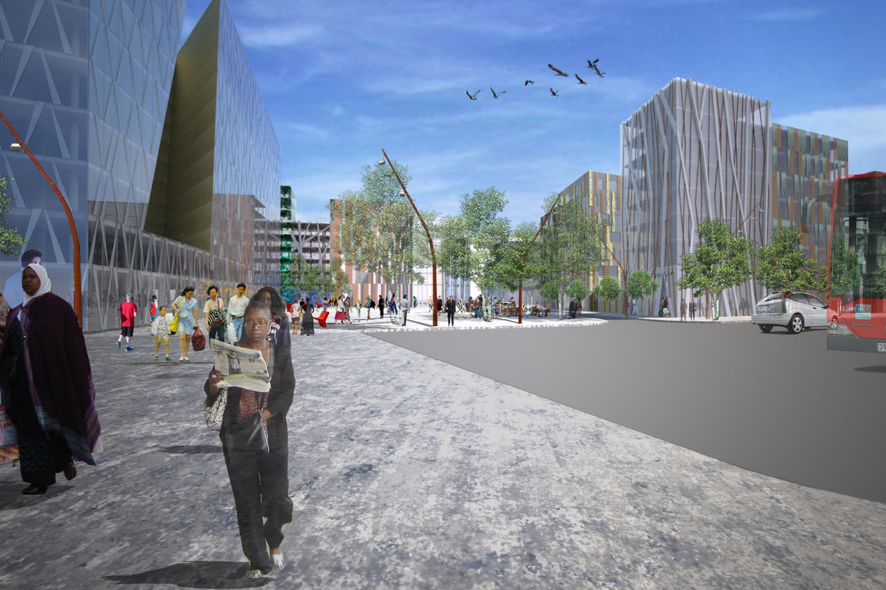
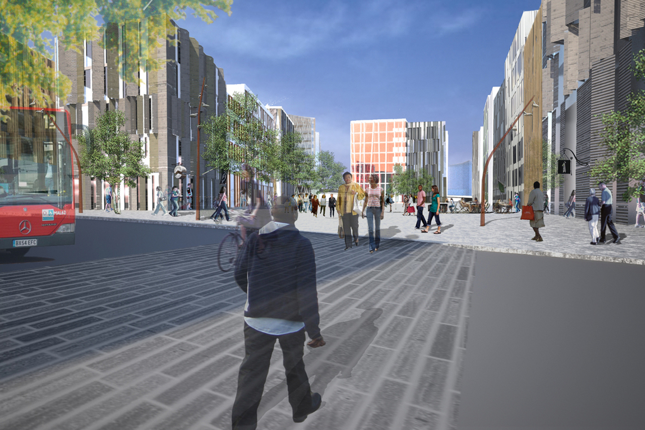
The key consideration is to find an urban solution for regeneration that could respond to an area of high degradation and suffering from a complete lack of urban form. The design integrates strong axes of movement through the area that link ends together and support a series of interventions along them. These two axes are known as the ‘Residential Spine’ and the ‘Activity Street’.
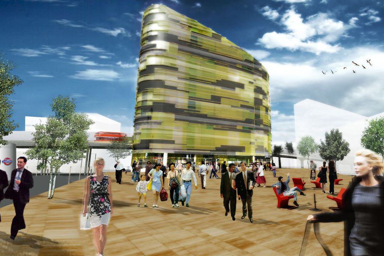
This Activity Street strings together a series of public open spaces that range from hard landscapes urban squares to new parks and existing refurbished parks. The Residential Spine is a housing lined street that forms a formal edge to a proud avenue of homes ranging from single family dwellings to multi-family blocks. It is a continuous street edge, meant to promote safety and security by keeping the street active. Throughout the area, the masterplan improves poor connections at a local level.
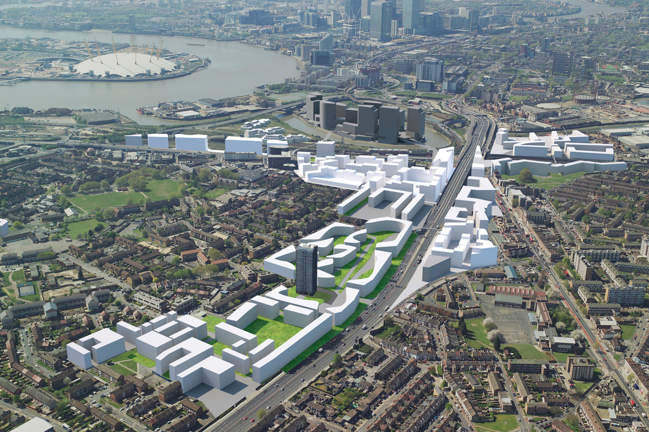
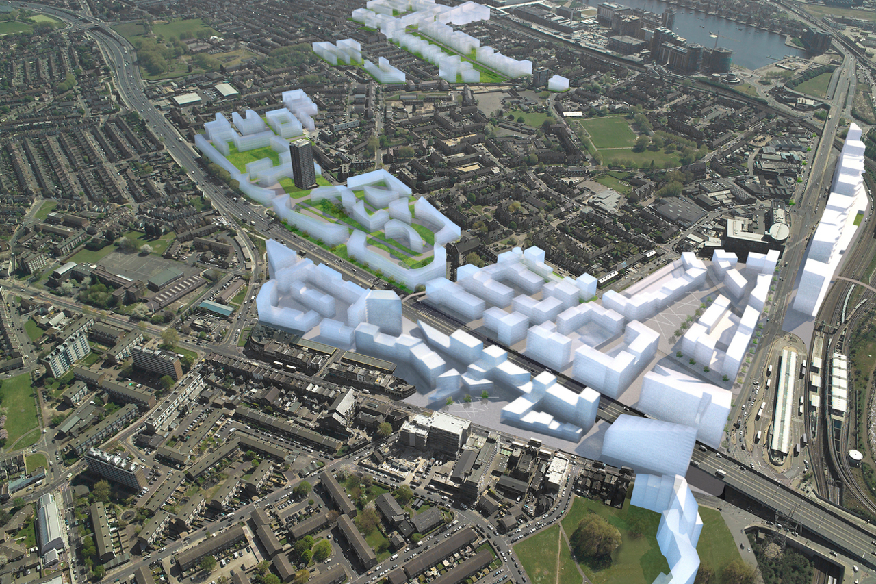
Although Canning Town has excellent urban train and highway connections, this rail and road infrastructure has isolated Canning Town from the outside. Therefore, new connections will not only help to improve internal links between Canning Town and Custom House, but also their link with the surrounding areas. New and improved pedestrian bridges, safer and refurbished underpasses as well as the reorganisation of a major roundabout under the A13 will allow people safe utilisation of the surrounding areas. This also makes for a greater benefit of the rapid changes that are underway in East London.